Why space is the next frontier in the fight for Niger's water

Drought is threatening the lives of millions of farmers in Niger. With NASA’s help, we’re pioneering a new approach — hundreds of miles above the planet.
By Théodore Kabore and Eliot Levine
Ridges of cracked earth crinkle underfoot. Pastoralists keep their cattle moving in search of seasonal ponds, only to see precious water pockets evaporate almost before their eyes. When the sky unleashes the annual rains, mud-brick homes seem to melt while roads pool and flow like miniature rivers. And then, just as fast, the rains recede, and Niger is parched again.
In this landlocked desert, water is paramount.
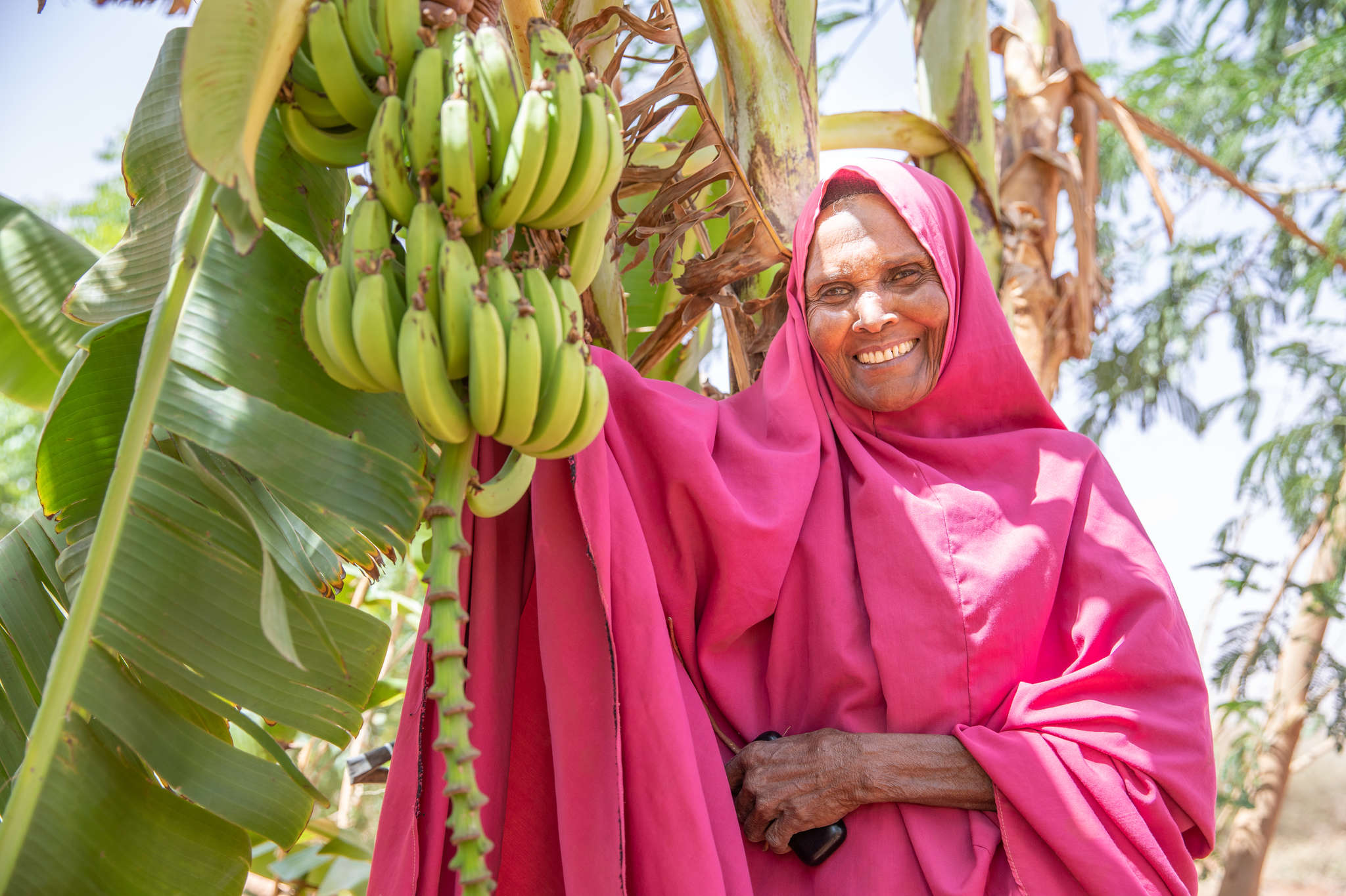
Almost 80 percent of Nigeriens eke out a living as subsistence farmers, their lives bound to increasingly unpredictable rain and drought cycles. Planting season becomes a moving target, cattle herds die off, wells dry up, sorghum harvests wither. As these disastrous shocks become more frequent and severe, hunger is spreading.

Even with billions of dollars of international aid spent over the last 40 years, climate challenges continue to undermine Nigeriens’ progress toward food security. And with the highest birth rate in the world, demand for food is only increasing.
Given these daunting trends, it was time for a new idea that could help address one of the primary root causes of food insecurity: a lack of sustainable access to water.
Our strategy? NASA satellites.
The path from Niger’s fields to the cosmos began underground. Mercy Corps’ Niger team realized that decision-makers in the country lacked critical information about groundwater availability — a huge problem given how much communities relied on water for farming. This means decision-makers don’t know where the underground water resources are, how much they have, or if the amount being extracted is sustainable.
The team soon discovered that Niger’s underground aquifers were even more vulnerable than was previously understood. Without closing these knowledge gaps, we were at risk of making the problem worse by promoting irrigation without a clear understanding of how sustainable it was.
But a new partnership promised a novel source of information: Orbiting hundreds of miles above the Earth’s surface, NASA’s satellites can detect how groundwater resources are changing.
“It was clear early on that bringing together NASA’s Earth Sciences team with Mercy Corps’ on-the-ground experts was going to lead to new and innovative ways of addressing a significant global problem,” says NASA lead, Dr. David Green. “For NASA, this application of space-based Earth observations exemplifies the societal benefits we hope to support in making these data freely and openly available.”

In partnership with SERVIR, a joint venture between NASA and USAID, these satellites will gather critical data that will allow users to understand the amount of water available, where it’s located, and how those resources are increasing or decreasing over time. This information is crucial to help Nigerien institutions make decisions, shape policy, and plan around the country’s water resource and economic investments.
And for farmers, these data-driven decisions will result in more secure, sustainable access to water throughout the year and in the face of drought.
Rather than become the direct client for NASA’s data, Mercy Corps has been working to bring various stakeholders together from across Niger’s government to understand how they can turn satellite observations into action. Going forward, Mercy Corps and SERVIR will work with these stakeholders to ensure they can take ownership of the tools they develop. We’re also helping strengthen the relationship between local communities to ensure any decisions respond to their needs and experiences.
In a country as dry as Niger, it’s essential that everyone has sustainable access to water. Water scarcity isn’t just threatening Nigeriens’ way of life; it’s threatening their very lives. It’s on us to do everything we can to solve this problem — here and in every country facing water scarcity. Even if the solution lies beyond our planet.
Théodore Kabore is Chief of Party for Mercy Corps in Niger. Eliot Levine is Director for the Environment, Energy and Climate team at Mercy Corps.